

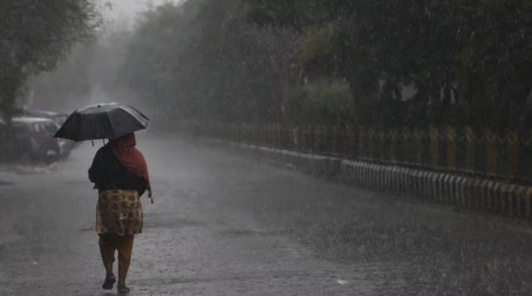
Chandigarh (Gurpreet Singh): The weather turned wet in parts of Punjab on Friday as heavy rain lashed Pathankot, while the Meteorological Department kept five districts under its rainfall forecast. Chandigarh, meanwhile, is likely to experience overcast conditions with a chance of light rain or drizzle.
The latest forecast covers Pathankot, Gurdaspur, Hoshiarpur, Nawanshahr and Rupnagar. Weather activity is expected to be more noticeable in the northern and eastern belts of the state.
The rain comes even as Punjab continues to record above-normal temperatures. The state’s average temperature is currently 2.8 degrees Celsius higher than normal, with elevated humidity contributing to uncomfortable conditions.
Pathankot Sees Strongest Rain Activity
Pathankot witnessed a spell of heavy rainfall on Friday morning, providing some relief from the prevailing heat.
The Meteorological Department had also identified the same belt for rainfall activity on August 27. However, rainfall remained limited at most places on Thursday.
Rupnagar received 3.5 mm of rain, while measurable rainfall was not recorded at the other reporting stations mentioned in the latest update.
Across Punjab, maximum temperatures remained in the 33.3°C to 39.9°C range.
Chandigarh May Receive Light Showers
Residents of Chandigarh may see another spell of wet weather, although widespread rain is not expected.
The city is likely to remain partly cloudy, with the possibility of light drizzle or an isolated shower.
On Thursday, weather conditions briefly turned favourable for rain on two occasions, and light drizzle was observed. However, the rainfall was not substantial enough to result in an official measurable total.
Atmospheric Systems Behind the Weather
The current weather conditions are being influenced by a combination of systems around Punjab and neighbouring areas.
An atmospheric system remains positioned near northern Haryana, while the monsoon trough is passing through the Amritsar-Ambala region.
A low-pressure system over southeastern Uttar Pradesh is another factor maintaining moisture in the surrounding atmosphere.
The combined influence of these systems is expected to keep skies cloudy in several areas and could trigger isolated rain and thunderstorms.
Rain Chances Higher in Northern Punjab
The distribution of rainfall is likely to remain uneven.
The northern and eastern portions of Punjab have a better chance of receiving showers, with the five districts in the current forecast expected to see the most activity.
Some locations could receive light to moderate rain, while isolated thunderstorms are also possible.
Temperatures Continue Above Normal
Despite the possibility of showers, the overall temperature pattern remains warmer than usual.
Punjab’s average temperature is running 2.8°C above normal, indicating that the monsoon’s weakening phase has not translated into widespread cooling.
Where rainfall occurs, temporary relief from the heat is likely. However, humid conditions could persist in areas that remain dry.
Reservoir Levels Under Control
The latest figures from Punjab’s major dams do not indicate any immediate flood threat.
Bhakra Dam’s water level was recorded at 1,634.61 feet, with an inflow of 32,881 cusecs and a discharge of 25,717 cusecs.
At Pong Dam, the water level stood at 1,365.88 feet. The reservoir was receiving 25,476 cusecs and releasing 16,405 cusecs.
Both reservoirs remain below their danger levels.
The Bhakra water level has increased by 0.39 feet compared with the 1,634.22-foot reading recorded on August 27.
With several weather systems still active around the region, Punjab can expect a mix of cloud cover, humidity and isolated showers, with the strongest rain activity currently favoured over the northern and eastern districts.
