

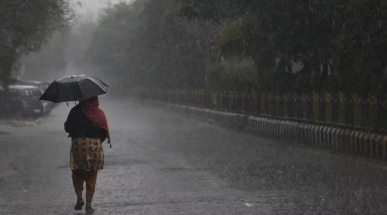
Chandigarh (Gurpreet Singh): The monsoon has strengthened once again across Punjab and Chandigarh, with several parts of the region witnessing fresh showers. Pathankot received rain through the night, while Chandigarh also saw rainfall early Wednesday morning. The weather office has advised residents to remain alert as more showers are expected during the day.
The latest spell follows a particularly intense burst of rain in Chandigarh on Tuesday, when the city recorded 72.4 mm of rainfall within just two hours. The downpour resulted in waterlogging at several places across the Tricity.
Pathankot, Hoshiarpur likely to receive heavy showers
The Meteorological Centre has retained a Yellow Alert for August 19. Heavy rain accompanied by thunder and lightning is possible at isolated locations in Pathankot and Hoshiarpur.
Chandigarh is expected to remain largely cloudy, with additional spells of rain likely. Parts of Pathankot, Gurdaspur, Hoshiarpur, Nawanshahr, Fatehgarh Sahib, Rupnagar, Patiala and Mohali may receive light to moderate showers.
Rain is also possible in portions of Amritsar, Tarn Taran, Kapurthala, Jalandhar, Ferozepur, Moga, Ludhiana, Barnala, Mansa and Sangrur. Isolated showers have been forecast for Fazilka, Faridkot, Muktsar and Bathinda.
Chandigarh faces another wet spell
Tuesday’s rainfall proved to be one of the most intense short-duration spells recorded in Chandigarh during the current monsoon. 72.4 mm of rain in two hours caused water to accumulate on roads and in several low-lying areas.
Despite the renewed rainfall, temperatures across Punjab remained relatively high. Bathinda topped the state’s temperature chart at 37.4°C, while the average maximum temperature increased marginally by 0.1°C.
Atmospheric systems remain active
The continuing rainfall is being attributed to several weather systems affecting northern India.
The monsoon trough is positioned close to Punjab, while an upper-air cyclonic circulation is present over Punjab and adjoining areas. Another circulation has been observed over northern Haryana and nearby regions.
A separate trough stretching from eastern Uttar Pradesh towards Gujarat through parts of central and western India is also influencing atmospheric conditions.
According to the weather department, the combined effect of these systems is likely to maintain rainfall activity over Punjab and Chandigarh.
No alert after August 20 for now
The department has not issued any specific rainfall alert for Punjab and Chandigarh for the five days following August 20. However, this does not mean completely dry weather, as scattered rainy spells may continue during the period.
With the ground already saturated in several areas following recent showers, further intense rainfall could once again lead to temporary waterlogging and disruption, particularly in low-lying urban pockets.
