

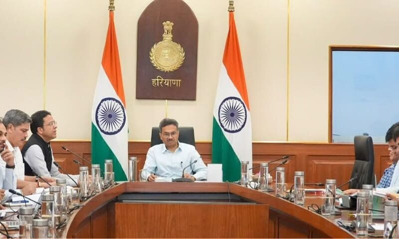
Chandigarh (Balwinder Singh): Haryana has secured the top rank across Indian states in utilizing the PM GatiShakti State Master Plan portal, rapidly shifting toward integrated, technology-driven infrastructure planning. During a high-level review meeting in Chandigarh chaired by Chief Secretary Anurag Rastogi, state officials reported that the number of infrastructure projects identified, planned, or completed via the PM GatiShakti platform rose significantly from 9 in April to 34 in August. The review, as documented by the Public Relations and Media Services of Haryana, highlighted major progress across sectors including industrial development, irrigation, healthcare, power, and town planning.
During the session, Chief Secretary Rastogi released the publication titled Compendium of Use Cases of PM GatiShakti in Haryana, urging government departments to maximize platform utilization and finalize pending dataset integrations. Commissioner and Secretary for Industries and Commerce, Dr. Amit Kumar Agrawal, stated that over 720 state officials have gained active access to the portal, supported by 244 specialized capacity-building sessions that trained 944 personnel.
The deployment of Geographic Information System (GIS) tools has cut project site assessment timelines from roughly 45 days to just one to two days. Key examples include the site evaluations for the proposed District Civil Hospital at Hisar and the Matlauda Bus Terminal in Panipat. The Architecture Department achieved similar reductions, bringing assessment periods down from 39 days to under 48 hours. Additionally, the Irrigation Department used the platform to detect asset infringements along the Hisar-Ghaggar drain in one to two days, with ground validation confirming 95 percent data accuracy.
The Haryana State Industrial and Infrastructure Development Corporation has integrated multi-sectoral datasets—covering revenue, road, rail, forest, power, and irrigation—to plan industrial model townships in Rewari, Jind, Faridabad, Ambala, Rai in Sonipat, and Naraingarh. In Nuh, GIS analytics mapped accessibility gaps for primary healthcare centres to optimize facility placements based on demographic needs.
Out of 82 identified state infrastructure projects, 61 have been mapped onto the master platform, up from 40 mapped earlier this year. Meanwhile, 22 of 23 designated government departments have initiated or completed API data linking. Rastogi directed the Public Works Department to accelerate the unified online No Objection Certificate (NOC) system in technical partnership with the Bhaskaracharya National Institute for Space Applications and Geo-informatics, while instructing the Gurugram Metropolitan Development Authority to finalize city logistics plans for Gurugram and Faridabad to boost public investment efficiency and regional growth.
