
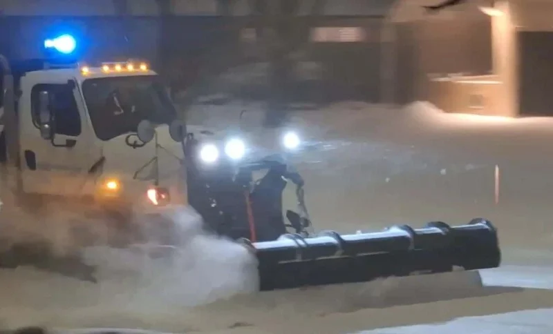
Ontario (Rajeev Sharma): A major winter storm is expected to sweep across southern Ontario later this week, raising concerns about travel disruptions during the holiday season, Environment Canada warned. Friday, which coincides with Boxing Day, is projected to see the most significant impact.
The storm, driven by a low-pressure system, is forecast to bring a mix of wintry precipitation, including snow, freezing rain, and ice pellets, depending on the location. Southwestern Ontario, particularly around Hamilton and Niagara, may experience freezing rain beginning early Friday morning and continuing through the evening. Officials predict ice accumulation of 5 to 10 millimeters in some areas, posing risks of slippery roads, downed tree branches, and potential power outages.
The updated forecast represents a significant change from earlier predictions, which anticipated only minimal ice buildup in these regions.
Further north, from the Bruce Peninsula to the Greater Toronto Area, snowfall is expected to start Friday afternoon and continue into the evening, with totals ranging between 5 and 15 centimeters. Some areas may also see a mix of ice pellets, though freezing rain is expected to contribute only minor ice accumulation. Central Ontario is likely to experience persistent snowfall overnight into early Saturday, while northern parts of the province are expected to receive primarily snow, with similar accumulations.
Environment Canada emphasized that uncertainties remain regarding the storm’s exact path and intensity, which could influence precipitation types and accumulation amounts.
Authorities are urging residents to prepare for hazardous travel conditions and to monitor official weather updates as the storm approaches. Commuters are advised to exercise caution and consider adjusting travel plans to ensure safety during the holiday period.